
Lab Notes: Ski turn analysis development
World Champ Tech’s design and development process for new product features begins on trails and mountain slopes around the globe instead of a sterile laboratory. This real world driven design process provides prescient insights that simply cannot occur in a lab. Development of the ski turn analysis system in World Champ Tech’s Ski+ app started with an epiphany while skiing in 2017. One of the great joys of skiing is carving perfect S-turns down a slope. You enter an almost zen-like state as you bounce from turn to turn in a tight rhythm that harmonizes with the varying pitch of the mountain. Wouldn’t it be great to know who many turns you took, the distance between each turn, how tight was the turn radius for each turn, and maybe even the G-force through each turn? Sadly, no smartphone or smartwatch app offered that feature. But that also presented an opportunity.

Summer skiing at Mammoth Mountain July 7, 2017

A sweet S-turn in the summer corduroy helped provide the starting inspiration
Starting with an inspiring day of summer skiing, the first development step was listing the available sensors on an Apple iPhone or Apple Watch and pondering how they could be used to count and analyze ski turns. The three main sensors types available to developers are a GPS, a barometric altimeter, and motion sensors. The GPS can provide positional information and altitude data, though the altitude data is notoriously inaccurate from a GPS. The barometric altimeter can provide accurate relative altitude measurements, but cannot provide absolute altitude data. The motion sensors - including a set of accelerometers and a set of gyroscopes - could provide G-force data, but that might not be sufficient to determine turn radius or the amount of distance traveled between each turn.
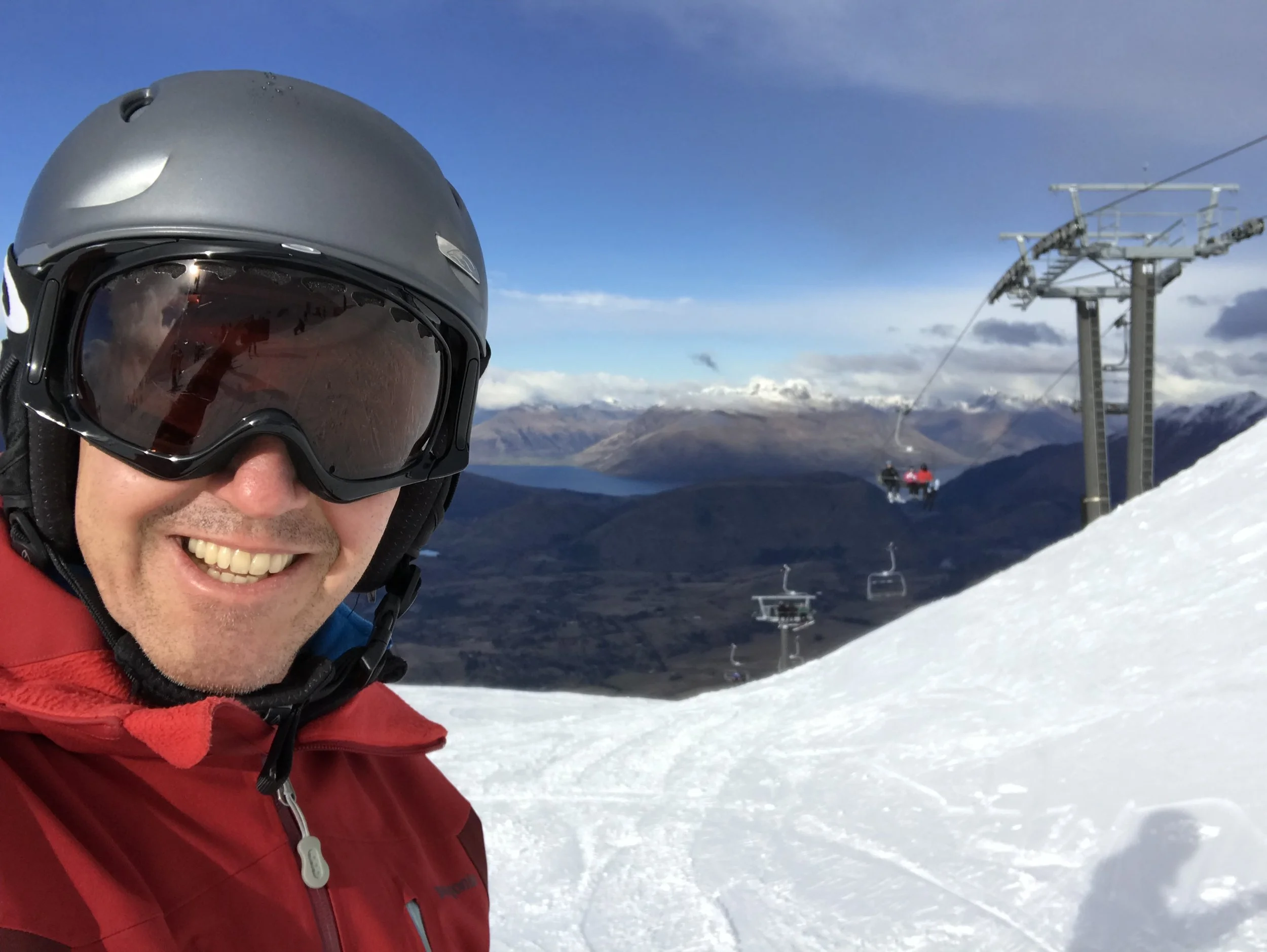
A brainstorm session at Coronet Peak, Queenstown, New Zealand
Among these sensor options, the GPS seemed most promising in enabling this feature. If you had an accurate track of your route down the mountain, it might be possible to fit a curve to the path using computational geometry and then calculate the parameters of each turn. Perhaps you could also fuse the GPS altitude data with the altimeter data to get an accurate measure of altitude and side step the concerns about GPS altitude accuracy. The next step would be to collect data - lots of data.

Early data collection on a bitterly cold day (-18 ℃/ 0 ℉) at Whistler-Blackcomb, Canada
Data collection required a task of nearly mind-numbing drudgery: accurately counting and recording each turn taken on every ski run. This painstakingly collected data could then validate the ski turn analysis algorithm. Slopes of varied pitch, length, and snow conditions were recorded to insure that the algorithm produced consistently accurate turn counts. The end result of this work is a unique piece of software technology - unavailable in any other app - that can help increase your joy from a great day on the slopes!

Bug-eyed aliens sighted near Lake Tahoe?

A day of testing in unexpected pow at Heavenly, Lake Tahoe

Heavy, wet snow made for a miserably cold day of testing and algorithm validation at Northstar, Lake Tahoe